
Plain Township Neighbor Sources
Records for the immediate block have different scopes. The GIS map establishes which parcels adjoin a target. The Auditor profile supplies parcel-level ownership and tax information. The Recorder explains a particular parcel’s recorded document history. Ohio Voter Lookup can confirm a named person’s registration status, but it cannot browse a street or block. A Haines Criss+Cross volume is historical address context for its own date. Taken together, these sources describe records around a parcel without turning them into a roster of neighbors.
| Source | What It Shows About a Block | Access |
|---|---|---|
| Stark GIS viewer | Parcels physically adjoining the target | Free map with selection and identify tools |
| Auditor parcel profile | Owner of record, tax mailing field, legal description | Parcel-by-parcel public profile, counter, or phone |
| Recorder index | Recorded parties and documents for one parcel | Online name guide from 1982, office path for older work |
| Ohio Voter Lookup | Status, precinct, and polling details for an already named person | Named search only, not block browsing |
| Haines Criss+Cross | Listed address context for a dated historical volume | Stark Library resource |
| Safe at Home and redactions | Why an expected address may be absent | Privacy protection, not a gap to bypass |
An owner name and tax mailing address are not proof that the owner currently lives on the parcel. They are property and tax fields. The Auditor profile also separates the physical address, tax mailing name and address, and legal description. That separation is central when researching Plain Township neighbors.
Map Plain Township Neighbors
The Stark County GIS Parcel Viewer supports an adjacent-parcel method. Search for the known parcel or address, use Layer List to make parcel context visible, and identify the selected feature. Then use point, box, or freehand Select only on the lots that directly adjoin it. Measure describes distance, area, or a point; it does not generate names or a list of people.
- Search the known address or parcel and identify the target feature.
- Open Layer List or Map Contents so the parcel boundaries are visible.
- Select immediate adjoining parcels with point, box, or freehand selection. Do not expand the selection into a broad street search.
- Open each selected parcel’s Auditor profile. Record its legal description, tax district, owner of record, and tax mailing field separately.
- Consult the Recorder only when a particular adjacent parcel has an ownership-history question that needs a recorded instrument.
The flow is address to target parcel, target parcel to adjoining parcels, adjoining parcel to Auditor profile, then a Recorder instrument only where needed. For a full street-by-street property trail, use the Plain Township street directory rather than treating a neighbor search as a street roster.
Plain Township GIS Neighbor Tools
Stark County documents Search, Layer List, Select, Identify or Feature Summary, Measure, Print, and a parcel-profile link in its map resources. Search finds a feature. Select marks one or several map features. Identify inspects the selected feature. The parcel-profile link moves the selected land unit to the Auditor record. These functions are spatial tools, which is why they are useful for locating adjacent parcels but not for deciding who occupies them.
- Parcel
- A taxed land unit identified by a parcel number and legal description.
- Legal description
- Recorded wording that identifies land beyond a postal address or city label.
- Layer List
- The map control that turns contextual layers on or off.
- Identify
- A click tool for inspecting a selected map feature.
The official Auditor ParcelData feature service combines parcel geometry with tax-base and CAMA information and lists a 2,000-record query maximum. That limit reinforces the parcel-first approach: select the few adjoining lots needed for the question, rather than trying to convert the map into a people directory.
Plain Township Neighbor Parcel Profiles
Once the GIS selection reaches the Auditor profile, read each label for its stated purpose. The current profile can display parcel and routing number, physical address, city and ZIP, class, land use, tax roll, neighborhood, acres, tax district, owner, mailing name and address, legal description, values, sales choices, and GIS access. The profile’s owner field means owner of record. The tax mailing field is where tax correspondence goes. Neither supplies a present household list.
Plain Township geography adds a second check. County records may show Canton or North Canton as a postal city even when the tax district identifies Plain Township. Compare the tax district and legal description before assigning a parcel to the township. This is a geography check, not an inference about a person’s location.
Note: Keep the physical address, owner field, and tax mailing field separate in every block note because the profile presents them as different facts.
Plain Township Neighbor Recorder Trail
The Recorder is for the documented history of one selected parcel. Stark County says its land-record collection begins in 1809, while the CountyFusion quick guide states that online name entries run from 1982 to the present. For the documented quick search, enter surname then first name with no punctuation, change no other fields, choose SEARCH, and open an Instrument # for a record. Document parties can establish a recorded connection, but they do not prove current occupancy.
Begin with the Auditor parcel’s legal description and owner spelling. Compare that description with a likely Recorder instrument, then work backward through the relevant parties when an ownership-history question remains. If the document predates the online span or the portal is unavailable, use the Recorder office, counter, telephone, or mail-copy channel. Recorded-document copies are described as free online; the research also documents counter and mail options.
FraudSleuth is a separate, free Recorder alert service for documents recorded under selected name profiles. It asks users to create profiles for name versions, nicknames, and alternate spellings, with periods and commas omitted. An alert provides document reference, type, and recorded date and time, but it can be a false positive when names are shared. It is not identity proof and does not monitor every record system.
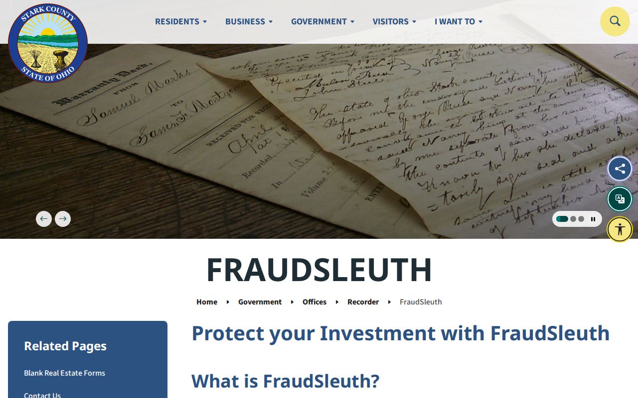
Use a document alert to check the official Recorder record, not to identify a neighbor or infer that a same-name result belongs to a particular household.
Plain Township Neighbor Voter Boundaries
Ohio Voter Lookup is not a Plain Township block browser. It requires First Name, Last Name, and County, and may request address information only to distinguish a named match. A successful lookup displays registration status, precinct, and polling location. Start with a person who has already been identified through an appropriate record, then use the voter result only for the limited civic information the state displays.
The Ohio DATA Act provides a dated county voter file through election, date, county, and download controls, with at least 22 months preserved. It can support a date-specific records question but does not prove a person currently lives at the listed address. The local Stark County Board of Elections can address a narrow request for a name, address, date, and public fields. Public inspection is subject to the office’s rules and election-administration limits.
Board records are for a focused civic-record question, not a way to browse nearby homes or compile a list of Plain Township neighbors.
Plain Township Neighbor History
Older neighborhood context requires a date. Plain Township was one of Stark County’s original 1809 townships, and its original territory later included areas organized as Lake, Lawrence, and Jackson townships. Middlebranch, New Berlin, and North Canton can also appear in historical research. An early township label must be checked against a dated map, legal description, and period source before it is attributed to today’s Plain Township.
Stark Library’s Index Files provide local-history leads such as military material, an 1865 enrollment item, veteran grave registration, an 1875 atlas, and newspaper death and marriage indexes. The page also identifies a Lake Township poll book for 1858 and 1874 through 1876. That is nearby county material, not a Plain Township roll. The library’s Haines Criss+Cross resource remains the better historical address path, but each volume describes only its own date.
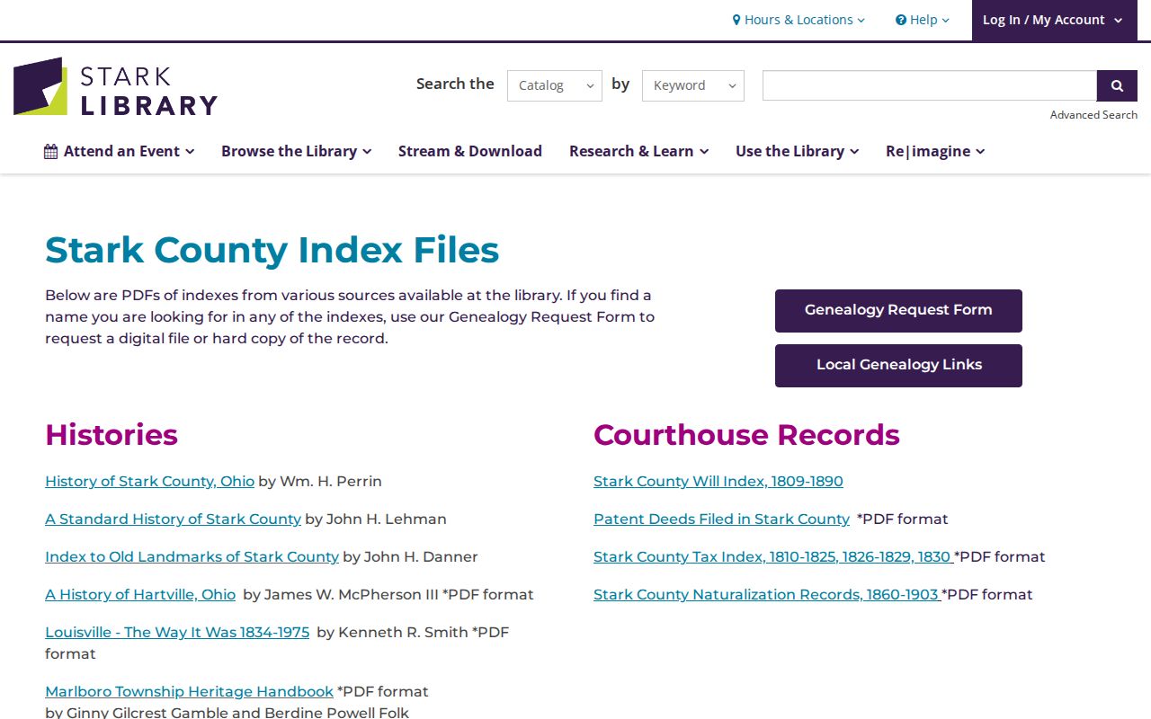
Library indexes can help build a dated family-history trail, but they cannot establish a present relationship among nearby households.
Plain Township Neighbor Research Gap
No official Plain Township neighborhood-association, HOA, congregation, or block-watch directory was located in the research. No member contacts, household cards, or subdivision roster should be inferred from parcel data. The available local sources describe history, property, and archival record paths rather than a present-day community list.
| Available community-history source | Documented use | What it does not supply |
|---|---|---|
| Plain Township Historical Society | Original township boundaries, Middlebranch and New Berlin history, cemetery context | Research hours, catalog, member files, or a neighborhood roster |
| Stark Library local-history resources | Dated directories, maps, newspapers, and index leads | A current neighbor or association directory |
| Stark Probate historic records | Marriage, estate, guardianship, and historic filing paths | Private relationship claims or a block contact list |
Stark Probate’s marriage information is a documented record path for a specific request. Both applicants attend after an online application, and the court publishes copy procedures. A marriage record does not establish a private relationship between people living near one another.
Historic probate material belongs in a documented family or estate trail, not a substitute for a local roster that was not found.
Plain Township Neighbor Source Comparison
For a property or history question, an official record identifies its custodian, date, and limits. Commercial neighbor-search categories may combine information from unknown collection dates and do not replace a parcel record, dated directory, or public custodian. Compare the record type before relying on either category.
| Source category | Useful for | Limit to keep in mind |
|---|---|---|
| Official parcel and recorder records | Parcel ownership, legal description, and recorded document history | Owner and mailing fields are not proof of current occupancy |
| Official voter and library sources | Named civic confirmation or dated historical context | They are not block-browse tools or current-household lists |
| Commercial neighbor-search category | A possible lead to verify at the original office | Collection date, identity match, and address accuracy may be unclear |
When an official record appears wrong, identify the custodian, record number, and correction sought. A source’s own correction path is the appropriate place to resolve it.
Plain Township Neighbor Privacy Limits
Ohio Safe at Home, R.C. 111.41 through 111.47, can provide qualifying participants a substitute address in government-address contexts. R.C. 149.45 addresses certain sensitive identifiers posted online and has a defined written redaction process. Voter telephone numbers and email addresses are not public under R.C. 3503.15(D). A missing entry can reflect a legal protection, a record’s narrow scope, or a date difference. It is never a reason to seek around protected information.
Ohio’s Public Records Act, R.C. 149.43, permits a request without a name or stated purpose, and a custodian may clarify a request to identify the record. Ask for a defined parcel, document, date range, or historical item. Do not ask an office to provide an unsupported conclusion about who lives around an address.